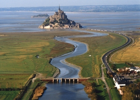
Mont-Saint-Michel bay (France)
Restoring the maritime character of Mont-Saint-Michel
Client: Ministère de l’Environnement - Direction de l’Eau (France) - Model scale: 1:350 horizontal and 1:90 vertical (distortion of 3.9)
 Context
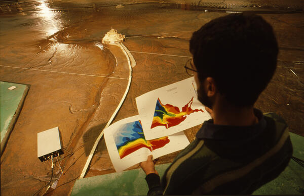
In 1995, the French government together with various local authorities instigated the project to restore the maritime character of Mont-Saint-Michel. A series of hydrosedimentary studies were conducted between 1995 and 1999 to investigate solutions for doing so while preserving the nature and landscape of the bay. Several modelling studies, both numerical and physical, were performed to this end. They included a movable-bed physical sedimentological model of the inner bay area around the Mont, which was built at Artelia’s Laboratory.
Aims of the physical scale model
the aims of the physical scale model were:
- calibrate the model by reproducing the hydrosedimentary process observed in previous years
- test different configurations to restore the maritime character of Mont-Saint-Michel
Description of the physical scale model
 The physical scale model reproduced:
- For the hydraulic conditions: sea level variations, tidal currents, wave motion, flow rates of the rivers Sée, Sélune and Couesnon, their tidal prisms, and flushing operations at La Caserne dam
- For the sedimentological conditions: the sediment materials in the inner bay: fine sand and 'tangue', and sediment carried in from offshore.
The main components of the design tested were:
- Demolishing the causeway and replacing it with a bridge in order to re-establish the circulation of currents around the mount
- Managing La Caserne dam to produce flushing effects
- Building a flow-dividing weir to maintain the channels on either side of the mount in the long term.
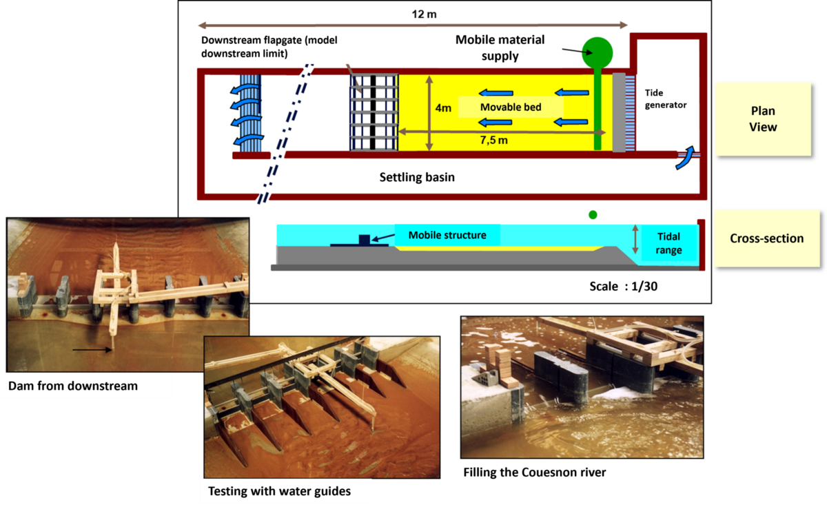
Physical scale model of "La caserne" dam
In parallel to the hydrosedimentary model, a physical model of the operation of the dam on the Couesnon river was used to assess the effectiveness of flushing to limit sedimentation and facilitate the channels maintenance.

Following the physical modelling, SPRETEC as a member of the project management consortium, was responsible for the structural design of the Caserne dam.
... How efficient is the system?
The sedimentological numerical model
The physical scale model carried out in the first phase of the project made it possible to converge towards a solution aimed at restoring the maritime character of the site, integrating the following components:
- the reconstruction of the dam on the Couesnon river making possible the operations of sediment flushing (self-cleaning),
- increasing the storage capacity of the flow upstream of the dam,
- the development of channels downstream of the dam (including the implantation of spreader groyne, a partition threshold, etc.),
- the replacement of the submersible causeway with a bridge on piles for access to the Mont-Saint-Michel.
In a second phase of the project, a numerical hydrosedimentary model was implemented to provide a decision-making tool for optimizing dam management operations.

This model was developed using the TELEMAC-Mascaret system: TELEMAC-2D for hydrodynamic calculations, GAIA for sediment transport and morphodynamic changes (sand and silt). In particular, the model can be used to assess the impact of the dam's operating parameters - the phasing and flow rates of the flushing operations, on the one hand, and the different configurations of the Couesnon riverbed, on the other - on the morphodynamics around the Mont.
On-site hydrosedimentary monitoring

